 |
| Ghost Marina now a Wetland Habitat |
Today we bicycled along the levees at the Alviso Marina County Park, a wildlife
refuge for migratory birds located at the extreme southern end of the San
Francisco Bay.
The Guadalupe River and
Coyote Creek terminate at Alviso, emptying into the Bay through Alviso Sough
and Mud Slough which are protected by levees.
 |
| Alviso Slough leading to Coyote Creek and San Francisco Bay - Navigable by Dinghy |
 |
| Clapper Rail at home in Alviso Wetlands |
Originally called the Embarcadero de Santa Clara de Asis, Alviso supported the trade from Mission Santa Clara and the tiny community of San Jose (not
much more than a dozen or so mud huts), in addition to the ranchos that
bordered on the Bay.
Beaver pelts,
cattle hides, and tallow were sent to San Francisco by boat from Alviso.
Later mercury from the New Almaden mines
(opened in 1845) was shipped through Alviso and several years later, traffic
increased considerably to support the Gold Rush.
 |
| Biking the Levees |
The town was incorporated in 1852 by which
time it was a lively community of homes, bars, hotels, and stores and had
become an important shipping port. Steamboats
traveled regularly from Alviso to San Francisco carrying barrels of flour produced
from wheat grown in nearby Santa Clara Valley.
As wheat production in the San Joaquin Valley grew, production in the
Santa Clara Valley waned and the Alviso Mills closed in 1885.
 |
| A Peaceful, Quiet Bike Ride |
In 1906, Thomas Foon Chew opened the Bayside
Canning Company in Alviso, taking over the Precita Canning Company from his father.
Chew grew the business into California’s
third largest cannery and at its peak, employed hundreds of Chinese workers who
were lodged in company houses near the factory.
During The Depression, Alviso was known for its dance halls and gambling
establishments; during the same period, the death of Chew in 1931 brought the cannery
to an end.
 |
| A Passenger Train passes through The Wetlands |
 |
| A Scenic Rail-line |
The port also waned as the railroad
took over the shipping of goods, resulting in the dramatic decline of Alviso.
By the turn of the century, little was left
of the once bustling shipping trade.
 |
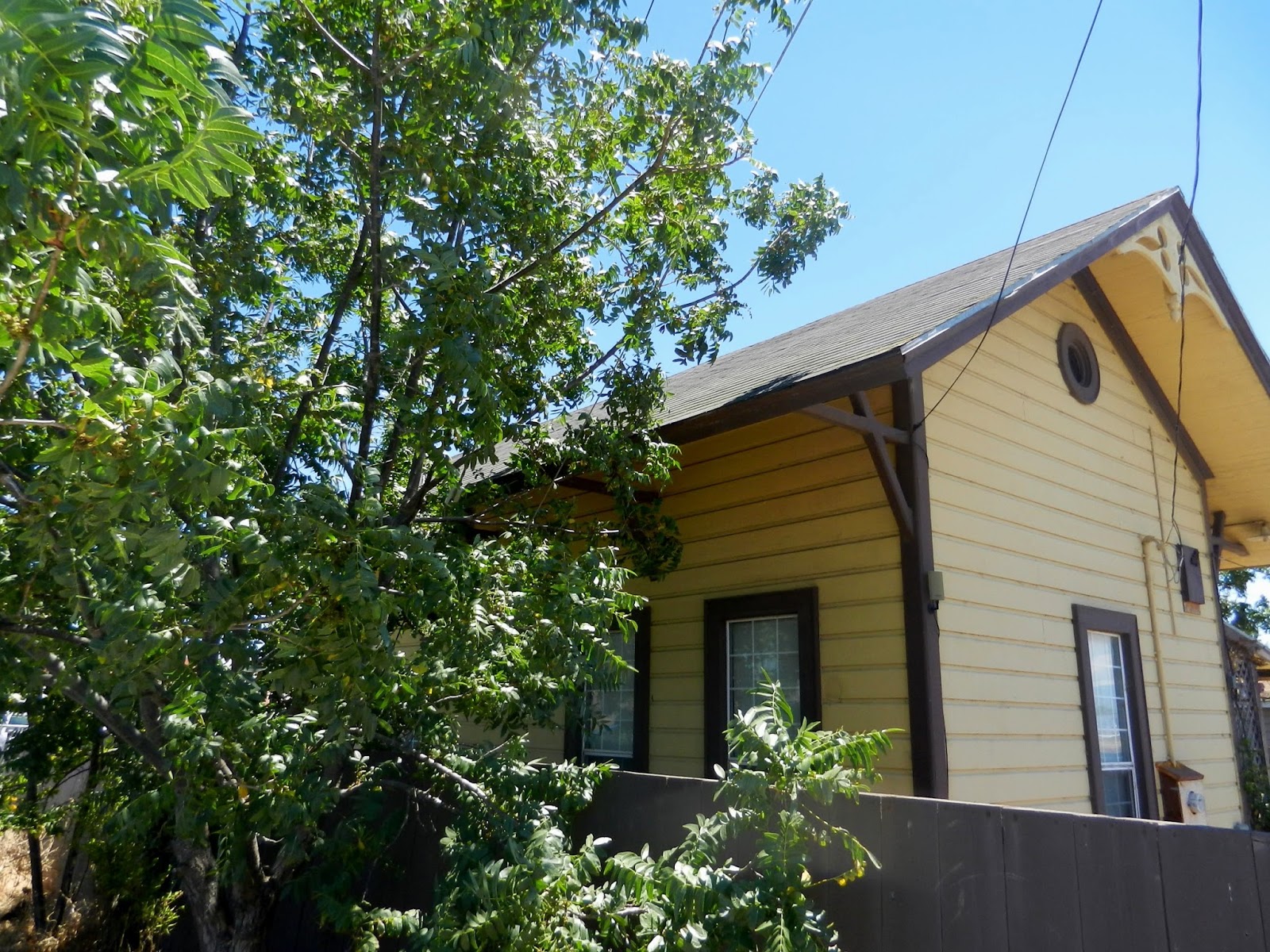
| Old Alviso Railroad Station, now a Home |
Only
the smallest of pleasure boats, dinghies, and kayaks are now able to navigate the
slough into Alviso at high tide.
A
marina for pleasure boats was built in 1965 but the required dredging to keep
it open was stopped in the 1970’s due to environmental reasons.
Silt has since filled over the docks and only
the gates are visible above the reeds; however, a boat ramp is maintained for
launching small watercraft for recreational purposes.
Alviso’s identity has shifted to its new role
as a managed wetland.
The South Bay area
provides critical habitat for birds and contributes to the environmental health
of the Bay.
Twenty-five square miles of
former commercial salt ponds in the South Bay, now publicly owned, are being
restored to tidal wetlands for migratory birds and other wildlife.
 |
| Ruins of the Bayside Canning Company |
 |
| Laine Store (1865-1912) and Chinese Gambling Hall (1920's) |
 |
| Tilden-Laine House (last Victorian home on Elizabeth St.) |
 |
| South San Francisco Bay Regional Map |


No comments:
Post a Comment